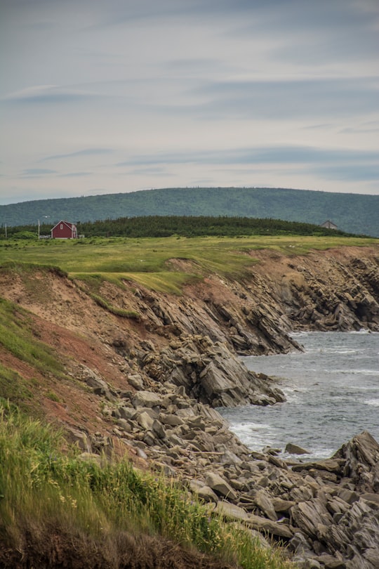
Travel Guide of Cape Breton Island in Canada by Influencers and Travelers
Cape Breton Island is an island on the Atlantic coast of North America and part of the province of Nova Scotia, Canada. The 10,311 km² island accounts for 18.7% of Nova Scotia's total area.
Download the Travel Map of Canada on Google Maps here
Pictures and Stories of Cape Breton Island from Influencers
3 pictures of Cape Breton Island from Noah Atkins, Sharissa Johnson, Alexis Mette and other travelers
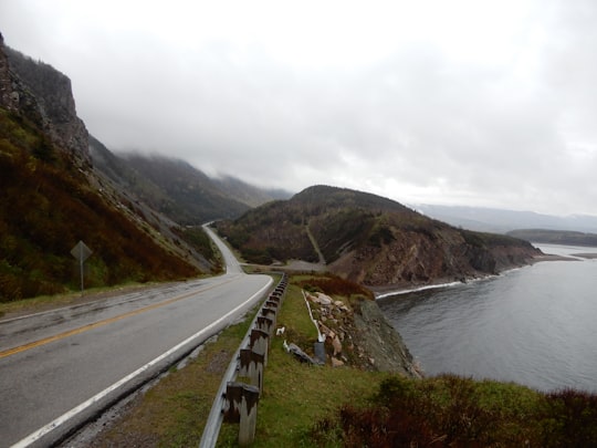
- Taken in Spring 2018; Cap Breton Island; Nova Scotia; Canada ...click to read more
- Experienced by @Alexis Mette | ©Unsplash
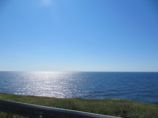
- Sun shining on the Atlantic Ocean. ...click to read more
- Experienced by @Noah Atkins | ©Unsplash
Plan your trip in Cape Breton Island with AI 🤖 🗺
Roadtrips.ai is a AI powered trip planner that you can use to generate a customized trip itinerary for any destination in Canada in just one clickJust write your activities preferences, budget and number of days travelling and our artificial intelligence will do the rest for you
👉 Use the AI Trip Planner
The Best Things to Do and Visit around Cape Breton Island
Disover the best Instagram Spots around Cape Breton Island here
1 - Baddeck
18 km away
Baddeck is a village in Victoria County, Nova Scotia, Canada. This village is seventy-eight kilometres west of Sydney. It is Victoria County's shire town and is situated on the northern shore of Bras d'Or Lake on Cape Breton Island.
Learn more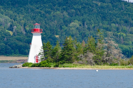
2 - Cabot Trail Road
24 km away
The Cabot Trail is a highway and scenic roadway in northern Victoria County and Inverness County on Cape Breton Island in Nova Scotia, Canada.
Learn more Book this experience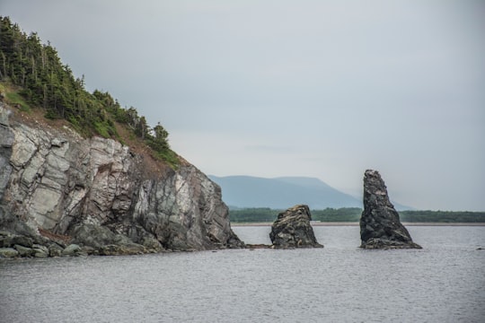
3 - Cabot Trail
24 km away
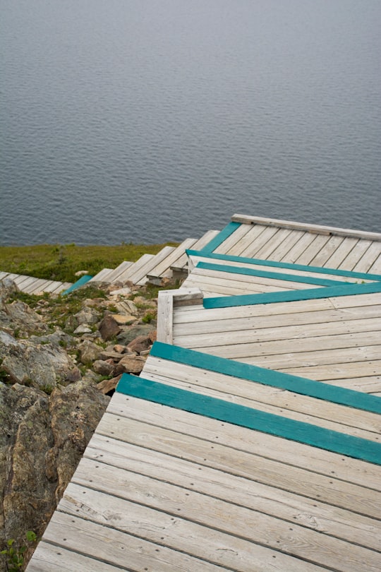
The Cabot Trail is a scenic highway on Cape Breton Island in Nova Scotia, Canada. It is a 298 km loop around the northern tip of the island, passing along and through the Cape Breton Highlands and the Cape Breton Highlands National Park.
Learn more Book this experience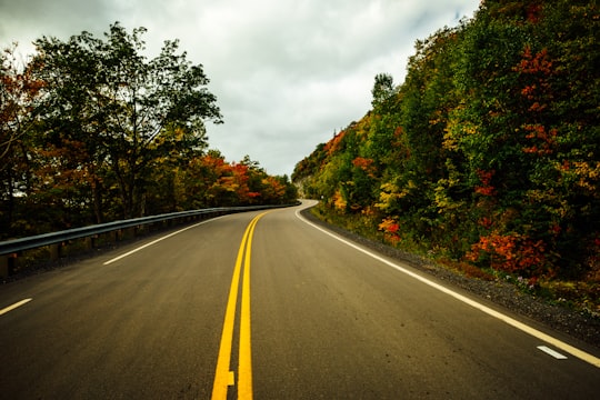
Book Tours and Activities in Cape Breton Island
Discover the best tours and activities around Cape Breton Island, Canada and book your travel experience today with our booking partners
Where to Stay near Cape Breton Island
Discover the best hotels around Cape Breton Island, Canada and book your stay today with our booking partner booking.com
More Travel spots to explore around Cape Breton Island
Click on the pictures to learn more about the places and to get directions
Discover more travel spots to explore around Cape Breton Island
🌲 Ecoregion spots 🏖️ Headland spots 🏖️ Shore spotsTravel map of Cape Breton Island
Explore popular touristic places around Cape Breton Island
Download On Google Maps 🗺️📲
